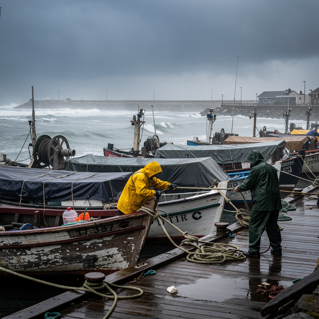
The weekend ahead will not look like the one many residents across the southwest Indian Ocean had begun to expect. The southern winter is loosening its grip and the warm season inches closer, yet a cold front is pushing north, and the people who live along the east coast of Madagascar, the shores of Réunion and Mauritius, and the coastlines of Rodrigues will feel it first: rain, rising wind and a southern swell that could push waves close to 3 metres.
For coastal communities, the sequence begins in Madagascar. Rain is expected first along the island’s east coast as the front advances ahead of an anticyclonic push. The swell peaks for southern Madagascar in the night from Saturday to Sunday, with waves that may approach 3 metres. Those who live and work along that shoreline face a sea that will gradually deteriorate before conditions improve.
The degradation then moves toward the Mascareignes on Sunday 25 October. In Réunion as in Mauritius, rainfall is forecast for the end of the weekend and the start of next week, mainly over the sectors usually exposed in this kind of situation. For residents of those familiar exposed areas, the pattern is a known one: the sky closes in, the rain arrives, and daily routines adjust around it.
The sea itself will be the more demanding companion. A southern swell is expected to touch Madagascar and the Mascareignes in succession. After its peak off southern Madagascar, the swell reaches Réunion on Sunday, with waves of around 3 metres in the night from Sunday to Monday. Mauritius can expect similar heights on Monday morning. Rodrigues, further out, will be affected later, with a more moderate swell of around 2.5 metres in the night from Monday to Tuesday. Anyone living near or working on the water in these islands will want to watch those windows closely.
Wind is the other element residents will notice. The passage of the cold front brings a strengthening of the wind between Sunday and Monday over Réunion and Mauritius. In Réunion, gusts described as occasionally unpleasant could be felt in particular in the beach sectors at the end of the weekend, a detail that matters for anyone planning to spend Sunday by the shore.
Nor is the change limited to rain. The front brings a deterioration of the sea state, an acceleration of the wind, and then the arrival of a fresher air mass, a sequence that will make itself felt across the islands: first the rain, then the rougher sea, then the stronger wind, and finally the cooler air. For families and communities across the region, the practical effect is a weekend and early week in which outdoor plans, coastal movement and time on the water all come with more caution than a week ago.
Beyond the immediate discomfort, the episode carries a broader message that residents of the basin will recognise. The southwest Indian Ocean is still in a period of transition. Even as the region slides progressively toward the hot season, this typical sequence of the cool season is a reminder that the southern winter has not yet fully given way. Further detail on the outlook can be found at https://www.cycloneoi.com/archives-blog/infos-diverses/apres-la-tempete-agueda-l-hiver-austral-fait-de-la-resistance-en-cette-fin-octobre.html.
In practical terms, the days ahead ask little more than attention. Residents of the exposed sectors of Madagascar, Réunion, Mauritius and Rodrigues know what a passing front looks like, and by Tuesday, as the last of the moderate swell eases past Rodrigues, the region will have turned another page of this lingering cool season. Whether the next front arrives before the hot season settles in remains the open question for the weeks ahead.